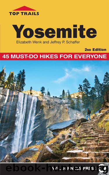
Top Trails Yosemite by Elizabeth Wenk

Author:Elizabeth Wenk
Language: eng
Format: epub
ISBN: 9780899977843
Publisher: Wilderness Press
Published: 2018-11-15T16:00:00+00:00
▶7
12.6
Return to Sunrise Lakes Trailhead
TRAIL 19 Central Yosemite
May Lake and Mount Hoffmann
TRAIL USE
Day Hike, Backpack, Horse, Child-Friendly
LENGTH
5.7 miles, 3–6 hours (over 1–2 days)
VERTICAL FEET
One-way: +2,025', –30'
Round-trip: ±2,055'
DIFFICULTY
– 1 2 3 4 5 +
TRAIL TYPE
Out-and-Back
FEATURES
Summit
Lake
Wildflowers
Great Views
Camping
FACILITIES
Bear Boxes
Restrooms
May Lake is a very popular destination because it is such a short hike. Day hikers can reach it in a half hour and most backpackers in under an hour. At 1.2 miles from the trailhead, May Lake has the most easily accessible backcountry campsites in the park, so it is ideal for novice backpackers or for those with young children. Additionally, these are good base-camp sites for an ascent of Mount Hoffmann, to which most hikers dedicate a half day. Mount Hoffmann, centrally located in Yosemite National Park, provides the best all-around views of this park’s varied landscapes. This summit is reached by at least 50 day hikers on sunny midsummer days, as well as a good proportion of the backpackers staying at May Lake overnight.
Permits
Overnight visitors require a wilderness permit for the May Lake Trailhead, issued by Yosemite National Park. Pick up your permit at the Tuolumne Meadows Wilderness Center, located in the parking lot a short way down Tuolumne Meadows Lodge Road; at the Big Oak Flat Information Center; or at another of the Yosemite permit-issuing stations (see “Permits”).
Maps
This trail is covered by the Tom Harrison Yosemite High Country map (1:63,360 scale), the National Geographic Trails Illustrated #308 Yosemite NE map (1:40,000 scale), and the USGS 7.5-minute series Tenaya Lake and Yosemite Falls maps (1:24,000 scale).
Best Time
Snow lingers long at the trailhead’s Snow Flat, making this hike impractical until late June in all but the lowest snow years. This is especially true because the 1.8-mile spur road leading from CA 120 (Tioga Road) to the trailhead often remains closed for several weeks after the highway opens, adding distance and elevation to your walk. In June and July, mosquitoes are notoriously bad at the trailhead but tend to be much diminished by the lake; just pack quickly and don’t despair that the bugs will be this bothersome at May Lake itself! August is probably the most popular month, but virtually all the snow is gone from the landscape and so the surrounding terrain is less photogenic. September–mid-October also are good times because the crowds are gone. Overall, for best photography with patches of snow and bright patches of flowers, fight the mosquitoes on the first stretch and hike around early to mid-July. Because swimming is prohibited in May Lake, water temperature isn’t a consideration.
Finding the Trail
From the Tioga Road–Big Oak Flat Road junction in Crane Flat, drive northeast 27.0 miles up Tioga Road to May Lake Road, a segment of old CA 120. (This turn is 3.2 miles east of the Porcupine Flat Campground.) If you are driving from the east, the turn is 12.6 miles west of the Tuolumne Meadows Campground or 2.3 miles west of the Olmsted Point vista pullout. Follow May Lake Road 1.8 miles to its end; the trailhead is on the left near the toilets.
Download
This site does not store any files on its server. We only index and link to content provided by other sites. Please contact the content providers to delete copyright contents if any and email us, we'll remove relevant links or contents immediately.
In a Sunburned Country by Bill Bryson(3524)
Annapurna by Maurice Herzog(3455)
How to Read Nature by Tristan Gooley(3315)
Dangerous Girls by Haas Abigail(3017)
SAS Survival Handbook by John 'Lofty' Wiseman(2707)
The Lost Art of Reading Nature's Signs by Tristan Gooley(2672)
In the Woods by Tana French(2576)
The Stranger in the Woods by Michael Finkel(2508)
Food and Water in an Emergency by Food & Water In An Emergency(2385)
Guns, Germs and Steel by Diamond Jared(2350)
Everest the Cruel Way by Joe Tasker(2323)
Wild: From Lost to Found on the Pacific Crest Trail by Cheryl Strayed(2243)
Sea Survival Handbook by Keith Colwell(2227)
Backpacker the Complete Guide to Backpacking by Backpacker Magazine(2227)
Trail Magic by Trevelyan Quest Edwards & Hazel Edwards(2164)
Ultimate Navigation Manual by Lyle Brotherton(2151)
Welcome to the Goddamn Ice Cube by Blair Braverman(2029)
Birds of the Pacific Northwest by Shewey John; Blount Tim;(1956)
The Last Flight by Julie Clark(1938)
